ONLINE FORMAT
| Image | 24 |
| Text | 3 |
THEME/PROJECT
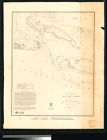
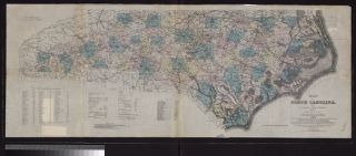
| North Carolina Maps | |
| Military History | 6 |
| Military History: Marines | 5 |
| Military History: Civil War | 1 |
| Special Collections Staff Picks | 1 |
Search Results
27 results found for:
fullsubject:Flags United States
View all North Carolina Maps material.